
If you’re moving to Boston, welcome to the neighborhood! You’re going to a city that is one of the most culturally rich, historic, and let’s be honest, one of the most crowded in America!
And if you make the mistake of moving during the first few days of September, brace yourself for what we locally call Allston Christmas, when 60 to 70% of leases turn over at the same time.
Within all the chaos stands your biggest challenge: the moving truck route in Boston. Because imagine taking the wrong route. Result? Viral infamy, massive traffic jams, and the grim walk of shame as you explain to a State Trooper why you ignored a dozen-plus oversized, flashing warning signs.
To avoid such a situation, our complete Boston moving truck route guide will help you understand which streets to avoid, safe options and alternatives, and more.
Understanding Boston’s Parkways
Three main Charles River parkways are definitely closed to large moving vehicles. These are DCR-managed roads, open to passenger vehicle traffic only.
Let’s understand this in detail below.
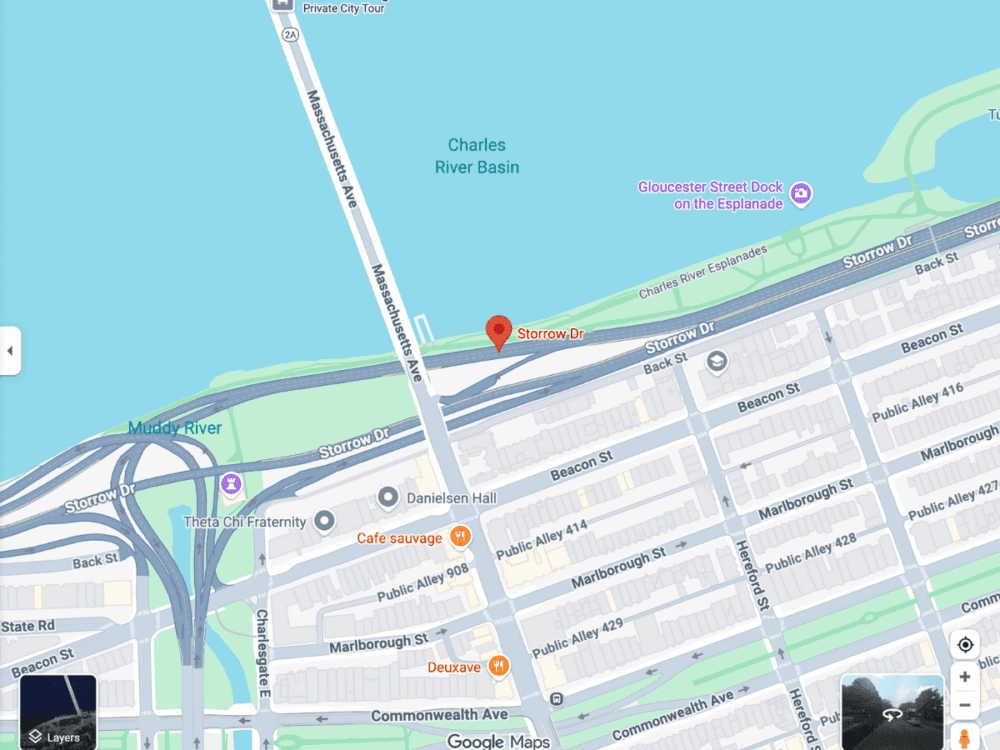
Storrow Drive (James Jackson Storrow Memorial Drive)
Now, here’s the most infamous, deadly zone. Storrow Drive is a fast-moving arterial road, and the vertical clearance is painfully low, allowing just barely room for pedestrian and vehicular overpasses.
Storrow Drive has extremely low vehicle height limits, often as low as 9-10 feet under certain overpasses. Conventional rental trucks (think 15- to 26-foot box trucks from U-Haul, Penske, Ryder, etc.) typically have exterior heights ranging from 11 to 13 feet 6 inches. As a result, these vehicles are prohibited from using Storrow Drive at any time for safety reasons.
And if you violate the law, expect police involvement, necessary towing, extreme fines from the Massachusetts State Police, and hefty overhang damage charges from the rental agency.
Memorial Drive & Soldiers Field Road
Formal Storrow Drive and its twin parkways, both also along the Charles, share similar features with low clearances and “cars only” status. It’s important to avoid them (don’t count them as “alternatives”) and they should be avoided by all commercial vehicles.
Why Your Car App Will Ruin Your Day
Whenever we want a route, the simple solution that clicks in our mind is using a GPS! Of course, in a world where everything is accessible with a click of a button, this route feels the easiest. However, this is far from reality. In fact, one common blunder temporary drivers make is depending exclusively on the GPS apps.
The real problem here is that consumer GPS platforms (Google Maps, Waze, Apple Maps) are designed to give the quickest route for regular passenger vehicles. These apps often lead a truck driver onto a prohibited route because the DCR parkways (Storrow, Memorial) offer some of the fastest car transit times, but do not account for commercial height and weight restrictions.
To tackle this issue, use a truck-specific GPS or navigation application designed for commercial and professional, and temporary drivers. These include Trucker Path and SmartTruckRoute.
Safe Alternatives to the Forbidden Three
At all times when planning your route, assume that any road which is called a Drive, a Memorial, or a Parkway along the Charles River is closed.
-
Storrow Drive Alternative (East/West):You can use Commonwealth Avenue (Comm Ave) or Beacon Street for parallel east–west routes. These are all-weather, all-season roads for all types of vehicular traffic.
-
Memorial Drive Alternative (Charles River Crossing):Use Fresh Pond Parkway and, further west, Route 2 to cross the Charles River into Cambridge.
-
Soldiers Field Road Alternative (Primary East/West):The Massachusetts Turnpike (I-90) is the main, dependable, and legal east-west corridor. It is a toll road, but it is planned for heavy vehicles.
-
Local Street Restriction:Drivers need to look out for NO TRUCK signs common on narrow, old-time residential streets, especially in areas like Beacon Hill and the North End, where weight or size limits aim to protect the infrastructure.
Height Limits in Boston’s Tunnels
Low-clearance risks also exist within the tunnels connecting downtown to East Boston. Take a look at the details below:
Sumner Tunnel & Callahan Tunnel
These critical downtown tunnels have inherent height constraints, such as the official height restriction of 12 feet 6 inches
Although taller than the parkways, most large commercial trucks over 12 feet are prohibited from entering these tunnels. All drivers should check the exact height of their vehicle before attempting to enter.
The safe alternative to these is the Tobin Bridge (Route 1A). It’s the only other route with full interstate vertical clearance standards.
The Safe Lanes: Designated Truck Corridors
Moving operations will require you to use specific truck corridors for a successful relocation. Most U.S. interstates have a Federal Highway Administration standard vertical clearance of 13 feet 6 inches.
Primary Interstate Routes
- I-90 (Massachusetts Turnpike): The main east-west corridor for allowed truck traffic.
- I-93 (North/South Expressway): This corridor handles most of the north-south traffic through the city and is open to commercial vehicles.
- I-495/Route 128: If your trip to the city doesn't need to go downtown, these outer beltways are great for avoiding downtown altogether.
The South Boston Bypass Road, a dedicated, high-capacity route, is the sole suggested route for vehicles serving the Port of Boston and the Seaport District. It is intended for heavy industrial traffic to avoid affecting nearby residential roads. Local access for smaller delivery vehicles has always been allowed on residential streets, but through-traffic is supposed to use these corridors.
Final Words
Getting a truck to fit and navigate through Boston involves careful planning and extreme care. Be aware of your vehicle height, use commercial mapping tools to confirm your route, and absolutely stay off all restricted parkways.
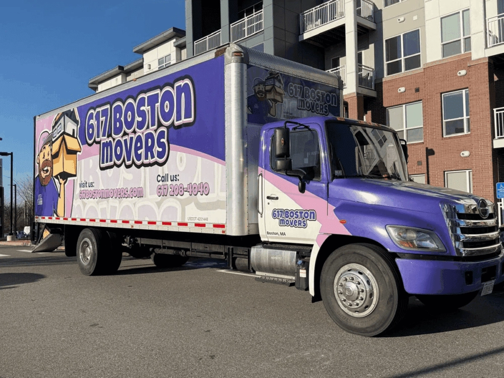
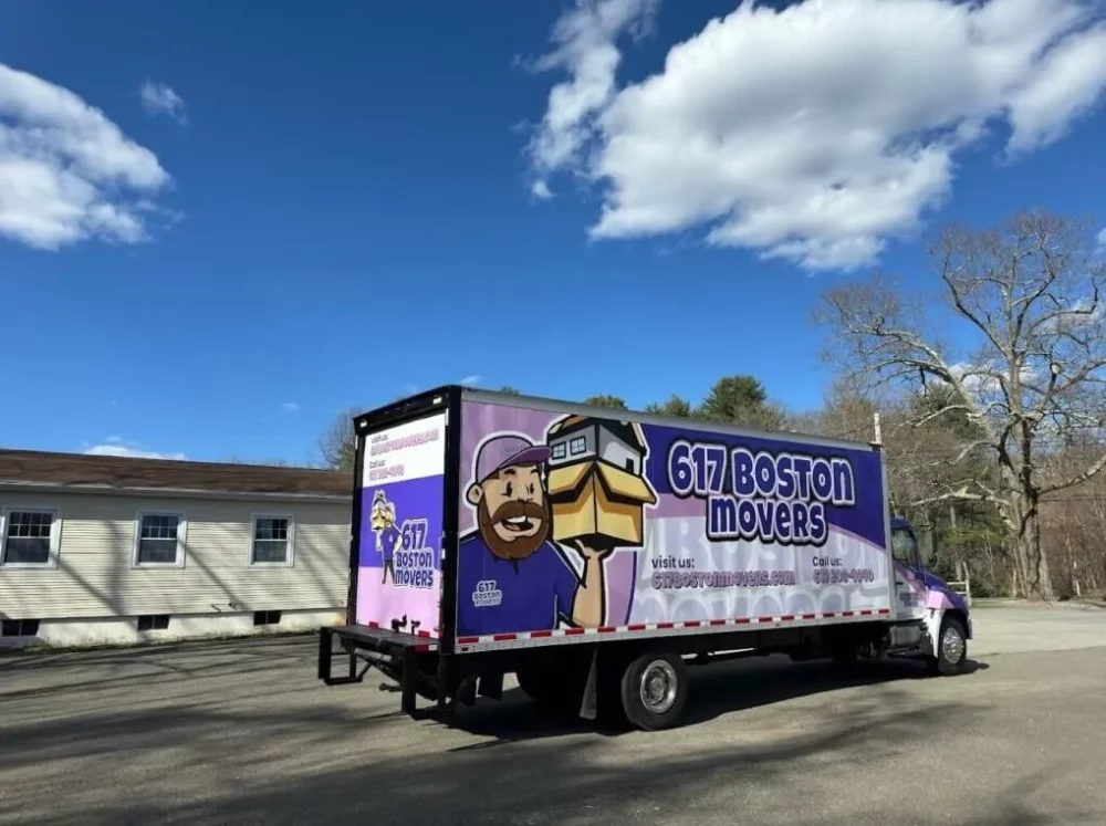
In addition, you can always count on our team of local Boston movers to assist you. When you work with us, we not only take care of moving your belongings but also make sure we follow the safest truck routes to help make your moving process easier.
Talk to us today at (617) 208-4040 or get a free quote!


